‘Wet pattern’ continues in Southern California as next few days bring sun, then more rain
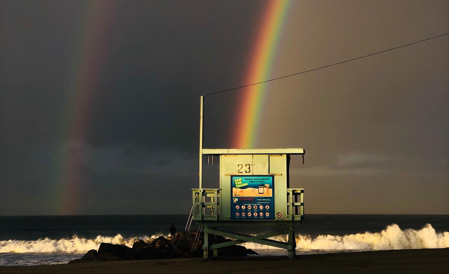
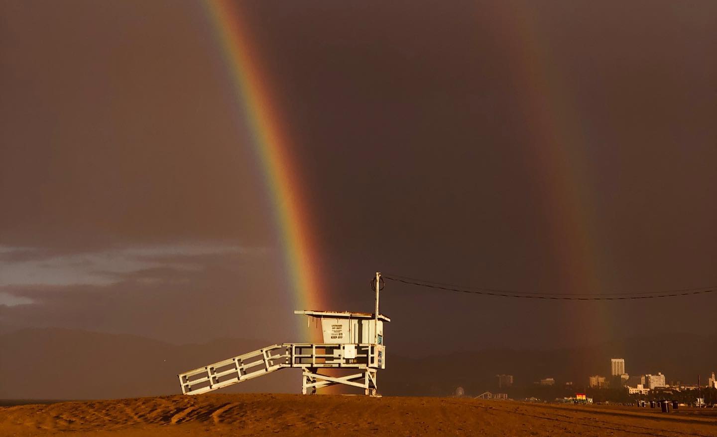
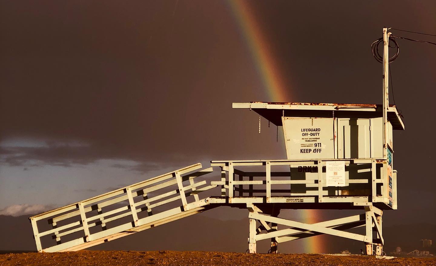
The rainy skies gave way to some sun in the Los Angeles area Wednesday, March 18, but residents further east and to the south continued to see gray skies and some scattered showers.
Those showers could continue in Orange, Riverside and San Bernardino counties late into Thursday, forecasters say, but a dry and mild weekend is heading our way.
A storm that pelted Los Angeles County with bouts of heavy rain during the first half of the week had mostly passed by Wednesday. A minimal chance of showers remained, the National Weather Service said, but temperatures also increased from the previous day by a few degrees in some areas and in some cases, like in areas of West LA, temperatures rose by 15 degrees.
Aside from a slight chance of showers Thu, our next chance of rain in #SoCal will be Sun-Tue, and possibly next Wed-Thu. Stay tuned as we get closer in time for additional details! #CAwx #LArain pic.twitter.com/eOJ1B7UOVc
— NWS Los Angeles (@NWSLosAngeles) March 18, 2020
Rain clouds hovered further south as a separate storm moved across Baja, the NWS said.
“I think it’s basically over for Orange County, Riverside and San Bernardino counties, at least for the populated areas,” NWS Meteorologist Brandt Maxwell said.
Orange, Riverside, and San Bernardino counties may see periods of rain through Thursday from that storm, NWS said, although most of the heavy showers will be further south in San Diego County.
Snow may impact roads over the next few days and defniitely be prepared for chain conditions in the mountains, officials said, as 2 to 5 inches of fresh powder was projected at elevations as low as 4,000 feet. Higher elevations above 7,000 feet could see more than 6 inches of snow.
Latest precipitation totals are here https://t.co/UAtQmIanrx and current photos #SanDiegowx pic.twitter.com/Tm6YgHM4PE
— NWS San Diego (@NWSSanDiego) March 18, 2020
After Thursday, things should dry out across most of Southern California, giving way to sunny skies and warmer temperatures by the weekend.
Highs could climb to the high 60s and low 70s by Saturday in Irvine, Ontario and Van Nuys. Warming will be less dramatic in coastal areas with temperatures forecasted in the mid 60s.
And by Sunday evening a new storm will move in, according to NWS.
The chance of showers will return across the region at the start of the week. The precise timing of the next bout of precipitation may vary, but “we are definitely in a wet pattern,” Brand said.


